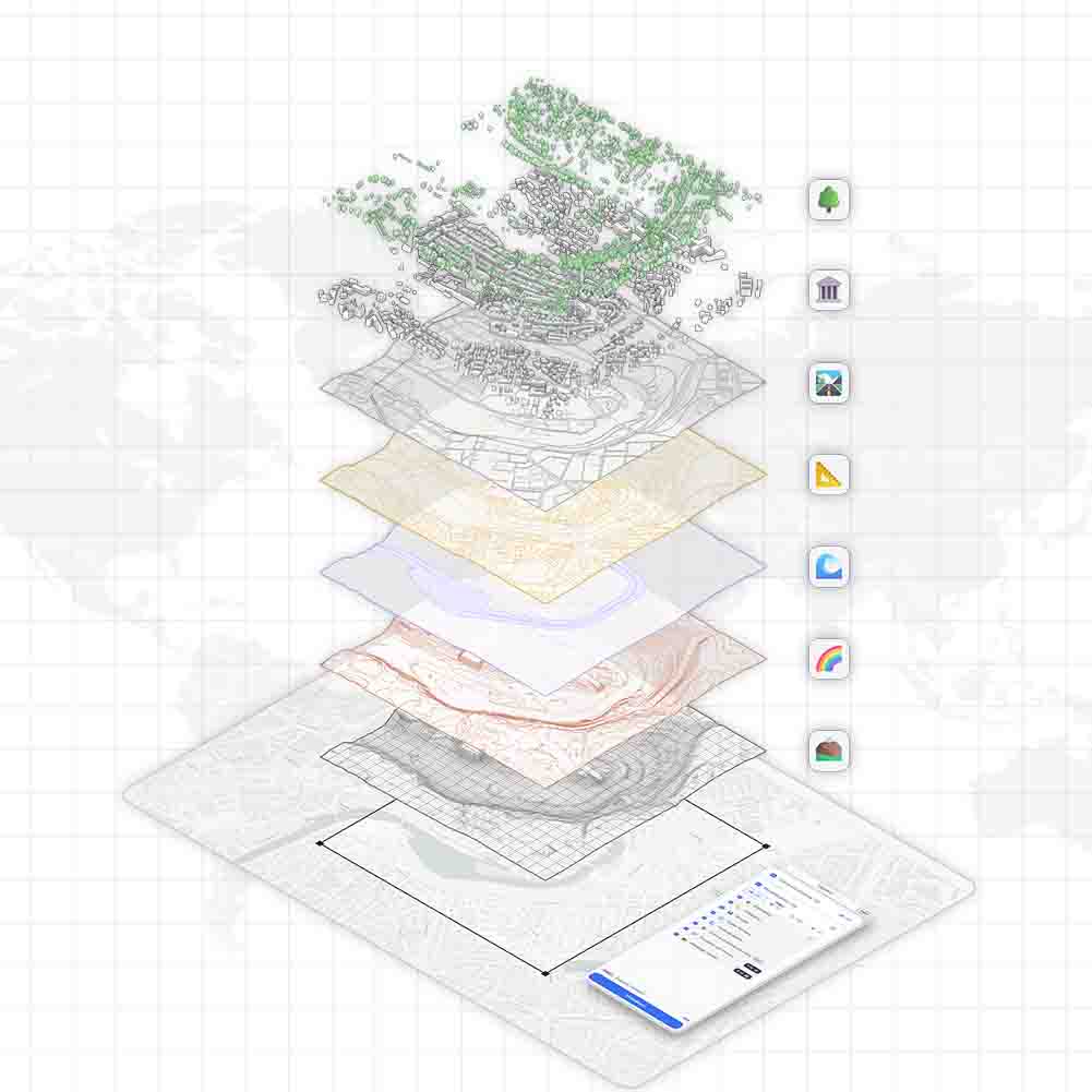
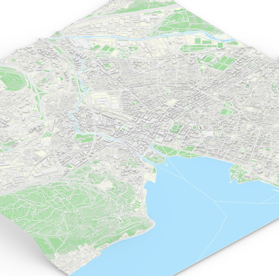
🍀 Soon a Complete Vegetation Digital Twin For France
Soon a Nationwide GIS Synthesis of Vegetation Layers Powered by IGN LiDAR HD
At TopoExport, we are advancing a major new initiative: the creation of a detailed, consistent and nationwide GIS synthesis of vegetation strata across France. Leveraging the high density LiDAR data provided by the French National Institute of Geographic and Forest Information (IGN) our objective is to deliver a precise representation of the vertical structure of vegetation and integrate it seamlessly into digital mapping workflows.
This work represents a foundational step toward a French Vegetation Digital Twin a unified spatial model of natural structures supporting urban design, ecological planning and climate resilient strategies.
A Multi-Layer Vegetation Model
Our upcoming dataset is structured around three primary vertical strata, automatically extracted and classified:
🌳 Arboreal Stratum
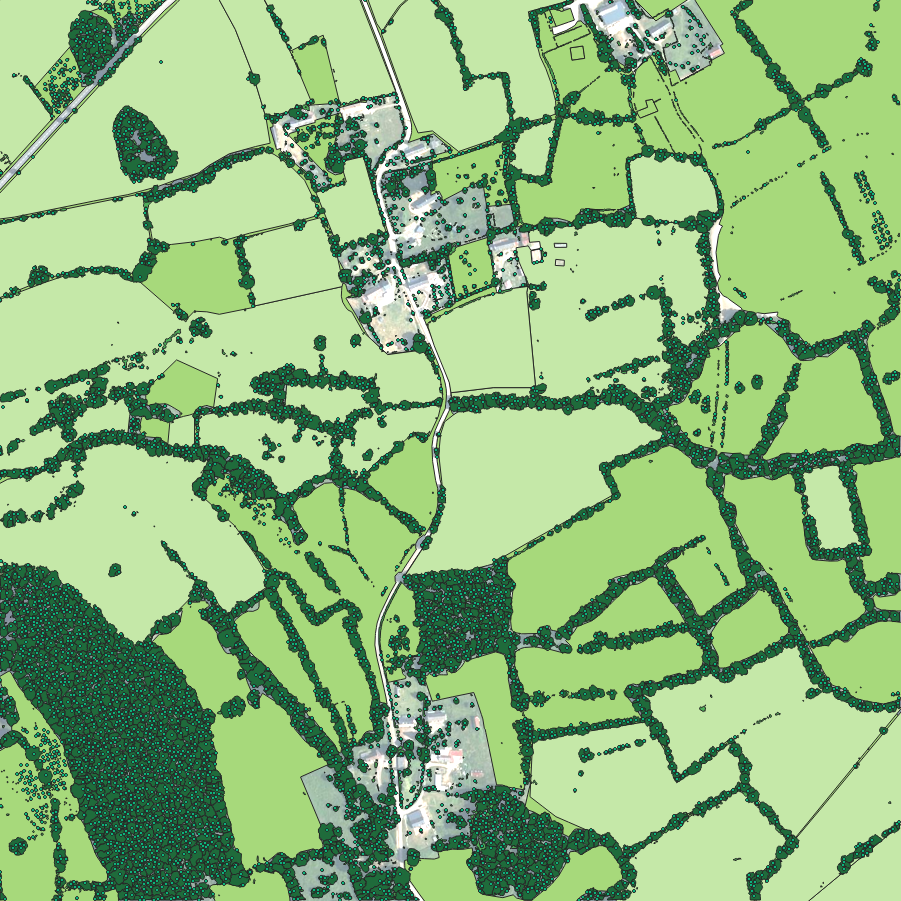
Trees taller than 2 meters, detected through individual segmentation of LiDAR HD point clouds using the TopoExport tree segmentation algorithm.
🌾 Shrub Stratum
Vegetation between 0,5 and 2 meters, including hedgerows, shrub belts and bocage structures key features of rural and peri-urban ecological networks.
🌱 Herbaceous Stratum
Low vegetation from 0 to 0,5 meters. This layer is modeled by integrating:
- RPG 3-0 (IGN) for agricultural parcels and land-use classification;
- OCS-GE 2-0 (IGN), the national land-cover reference (code US1.1 as illustrated above corresponding to agricultural land use).
Together, these layers offer a complete view of vegetation cover and its vertical hierarchy, enhancing both rural and urban analyses.
Why Vegetation Stratification Matters
A vertically detailed vegetation model is essential for understanding the ecological, climatic and spatial dynamics of French territories. Our work aims to support contemporary planning challenges by:
Delivering actionable datasets for:
- Climate-change adaptation and mitigation;
- Urban planning and landscape design;
- Ecological resilience strategies;
- Restoration and analysis of ecological corridors.
Enabling multidimensional spatial interpretation:
- Explicit representation of superimposed vegetation layers;
- Identification of green infrastructures and their structural role;
- Better insights into interactions between vegetation, topography, transportation networks, hydrology and built environments.
This level of detail profoundly enhances the relevance of cartographic data for architects, landscape designers, urban planners, environmental engineers and public authorities.
Data Sources and Processing Pipeline
The production of this national vegetation synthesis relies on several high-quality sources:
🌳 Arboreal Layer
- IGN LiDAR HD;
- TopoExport’s automatic tree segmentation with the individual-tree detection algorithm .
🌾 Shrub Layer
- IGN LiDAR HD;
- Automatic detection of hedges, shrub belts and bocage structures.
🌱 Herbaceous Layer
- IGN RPG 3-0;
- IGN OCS-GE 2-0 land-use and land-cover classification;
- Integration into a continuous vegetation raster and vectorized outputs.
The combination of high-density LiDAR and authoritative land-cover datasets allows for a precise, scalable and automated workflow suitable for nationwide coverage.
Availability on TopoExport
The national-scale production is underway and the first datasets will be available very soon on TopoExport.com. A beta version is already accessible for the Paris metropolitan area, including:
- 🌿 2D hedgerows;
- 🌳 2D and 3D individual trees;
- 🏠 3D LoD2 buildings.
These layers can be exported in professional formats adapted to CAD, GIS and BIM workflows, supporting rapid prototyping and detailed territorial analysis.
Acknowledgments
This initiative would not be possible without the exceptional work carried out by IGN and the quality of the LiDAR HD national acquisition program. Their contribution is central to building a durable geospatial foundation for France’s ecological and urban transitions.